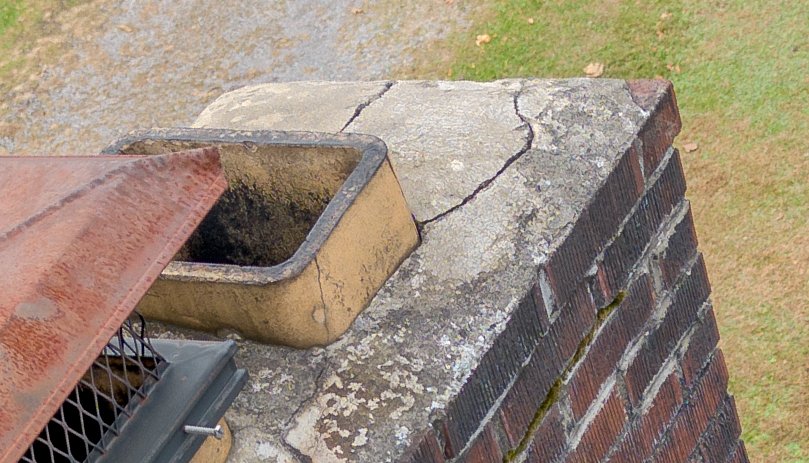
Drone inspections
Aerial photos and 4K video to document property conditions, damage, and repair progress.
What’s included
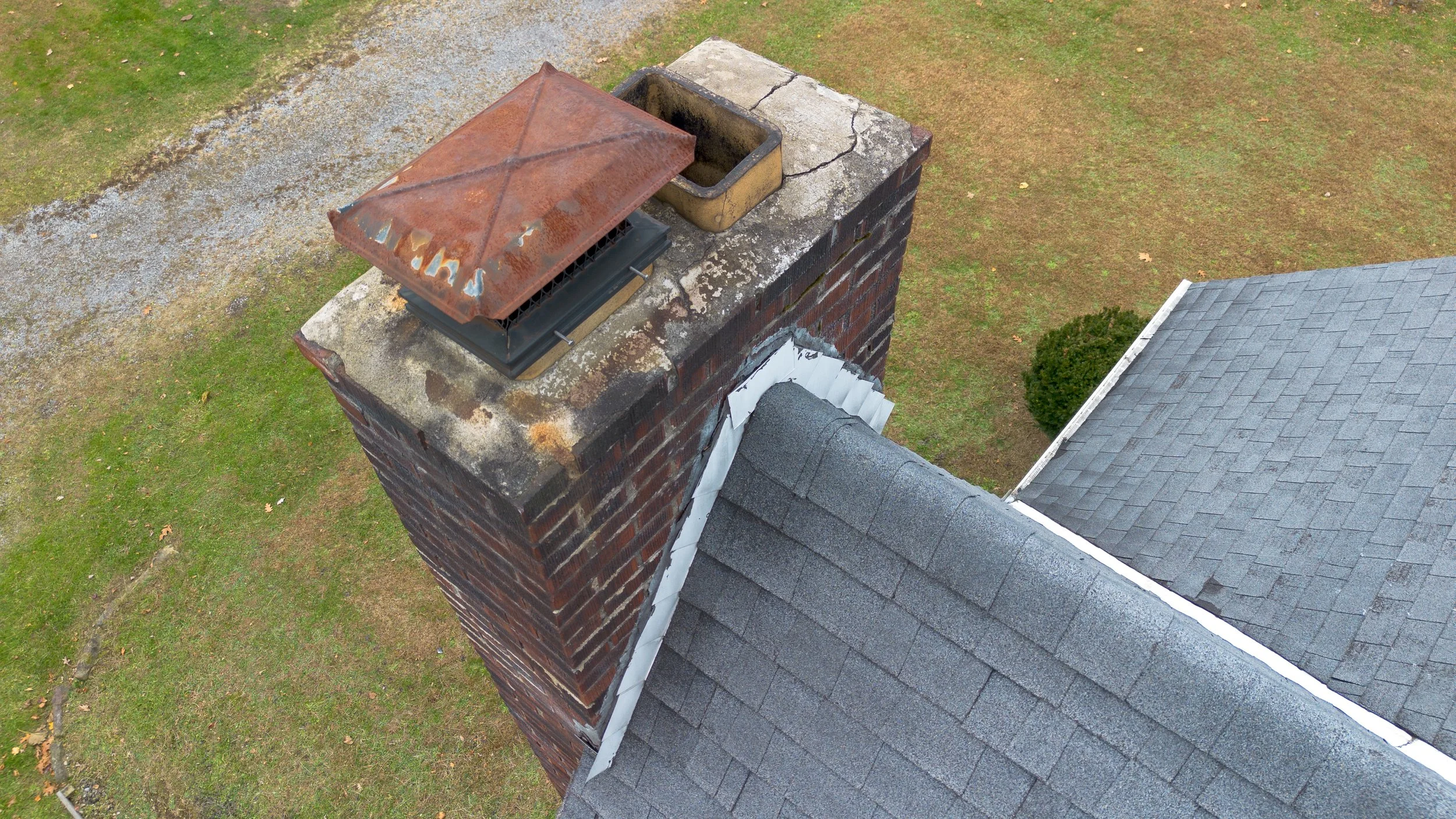
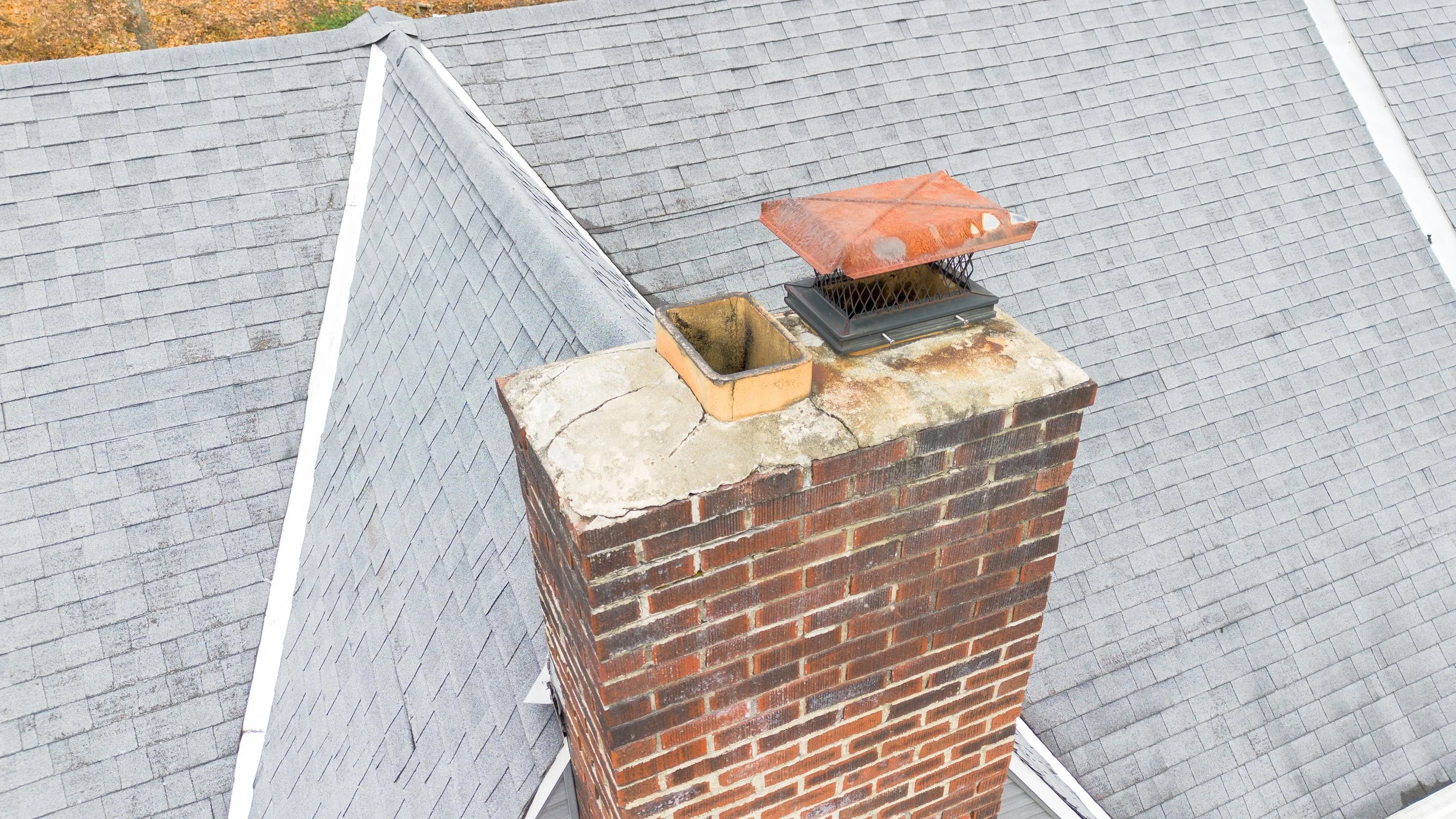
High-resolution images and 4K footage of roofs, siding, and exterior conditions
Multiple angles to show the location and extent of visible damage
Time-stamped before-and-after repair documentation
Expedited scheduling and delivery options for urgent projects
FAA Part 107 certified and insured. Each project is planned around site access, local airspace, and flight conditions.
Common uses
Property imagery for insurance claim documentation
Site and roof photos for permit applications
Post-storm condition records
Independent visual documentation for property disputes
Coming soon
Thermal images and video, detailed measurements and orthomosaic mapping, and comprehensive annotated inspection reports.
Plan your inspection
Send the property location, areas you need documented, and your deadline.